PICTURE THE JOURNEY
The trail
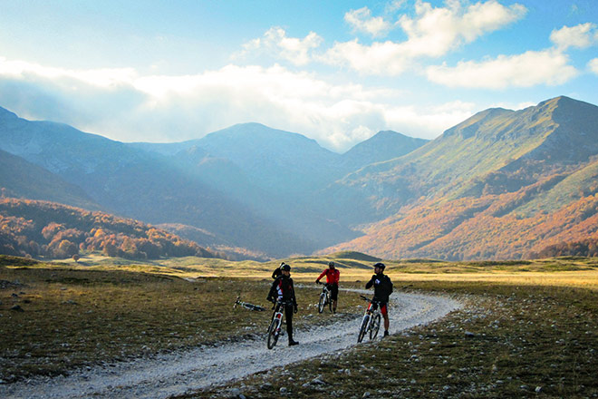
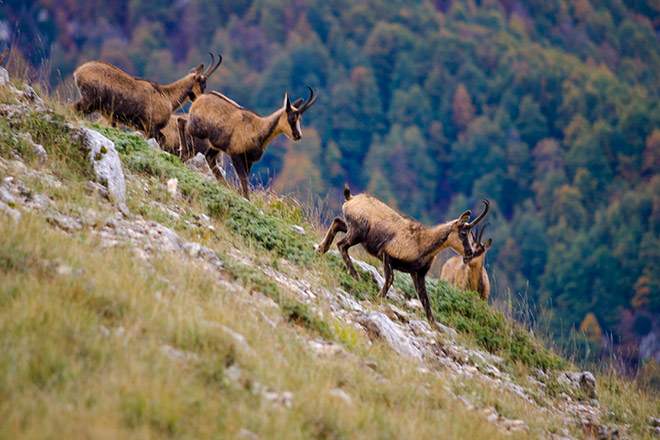
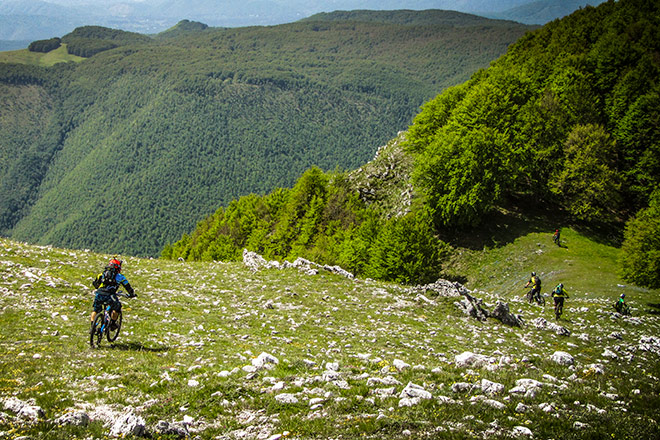
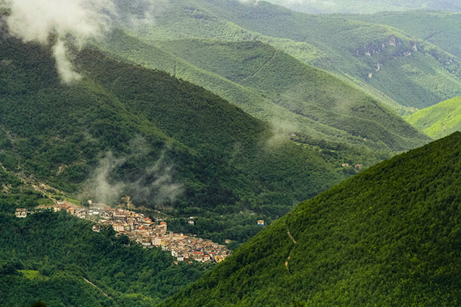
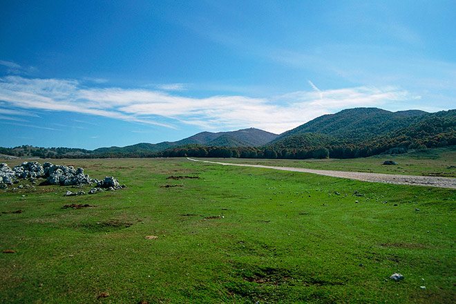
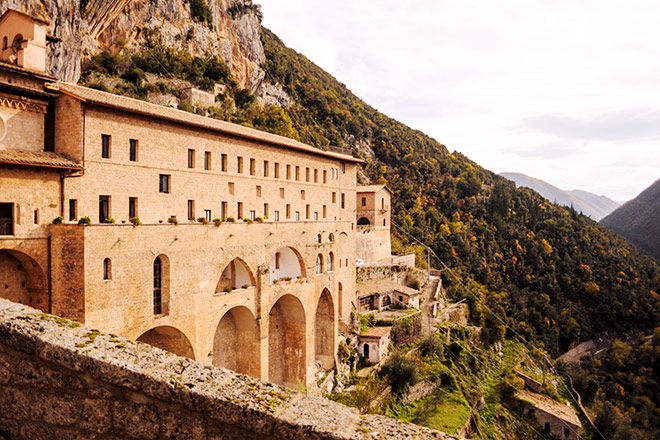
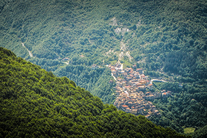
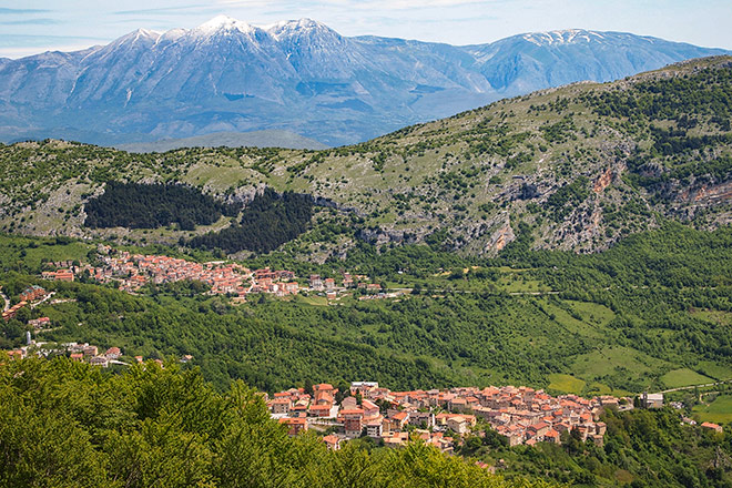
Similar to Sirente-Velino, the Simbruini Regional Park is a protected area in the Apennines, with 2000-metre high summits, vast karstic plateaus and spring waters, scattered with small towns brimming with ancient history. Located 80 kilometres from Rome, it is home to a stunning variety of wildlife including eagles, wolves, bears, owls, wildcats and deers. At least seven ancient Roman towns are also situated within the boundaries of this protected area.
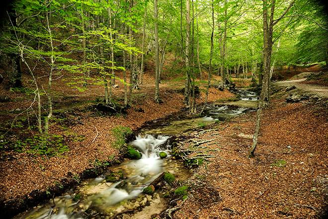
The Simbruini Mountains take their name from the Latin sub imbribus, (‘under the rain’). This karstic land is a veritable sponge of lime that absorbs precipitation and snow runoff. This water returns to the surface in the area’s numerous, abundantly flowing and high-quality springs, the most scenic of which can be found in the Aniene River Valley.
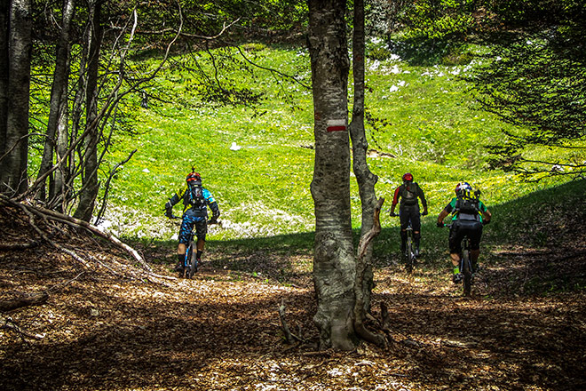
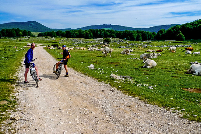
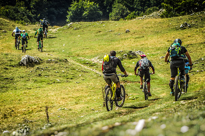
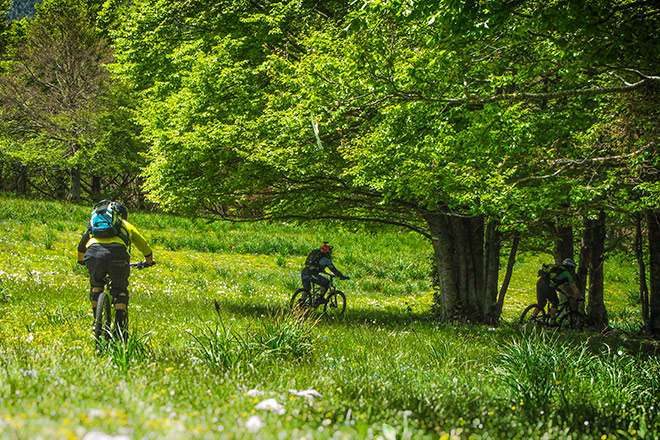
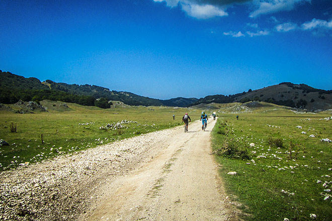
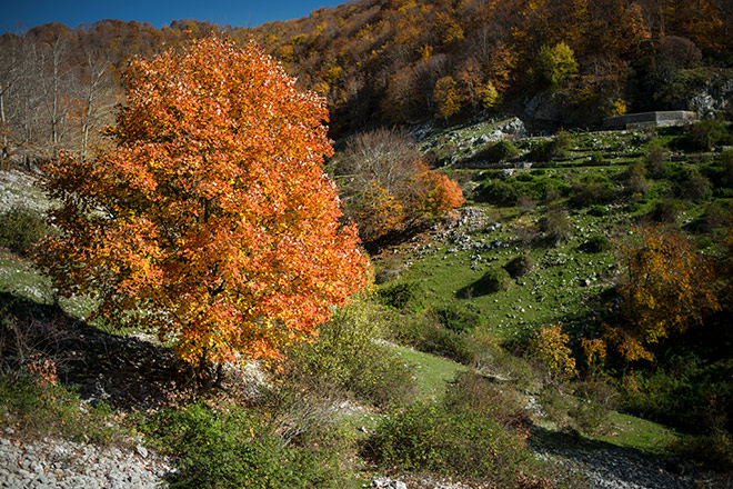
As you traverse the Monti Simbruini, you will cross many plateaus, like a corridor joining several rooms in which woods, hills and grassy meadows paint new and enchanting scenarios. We love riding through Campo della Pietra, Altopiano di Camposecco, Piano del Pozzo, Compo Rotondo, Piano Morbano and Campo Staffi…and we are sure that you will too..
Riding surface
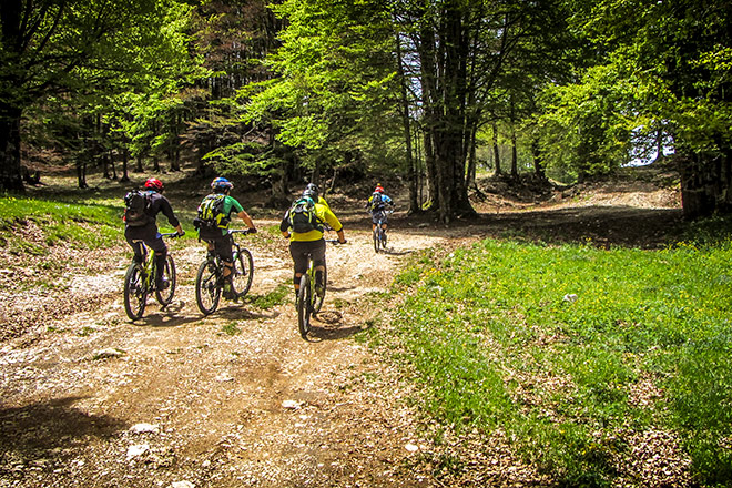
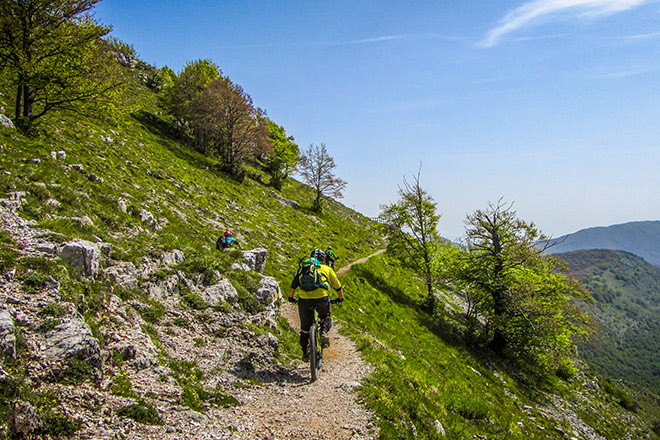
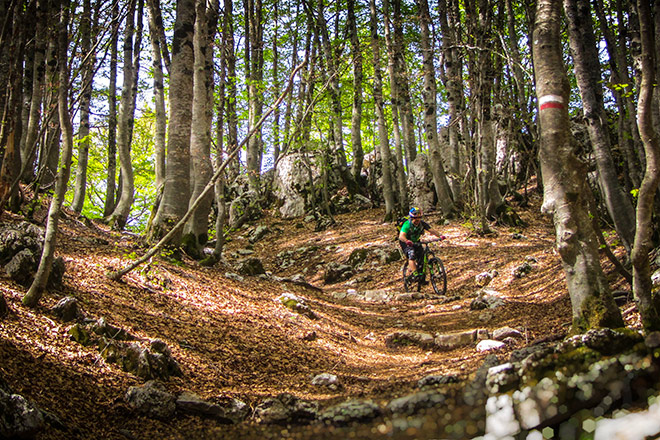
The Simbruini Mountains have a network of over 40 off-road trails that run though different habitats and eco-systems.Average mileage
The first day towards Majella offers a series of nice, long climbs, reaching a maximum of 78km and 1900m elevation gain. On the last day, first you will climb to the top of Mount Blockhaus at 2154m (with an elevation gain of 1600m), but there’s a shortcut option at Rifugio Bruno Pomilio in Majelletta (1830m). From there, it’s downhill all the way to the coast – a long stretch of 80km which varies from technical biking to easy, fast sections. There are also offroad and asphalt shortcut options available.


