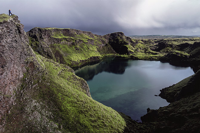
The 25km long crater row, also known as Lakagigar, is an off-the-beaten track attraction with out-of-this-world landscapes
PICTURE THE JOURNEY
The trail
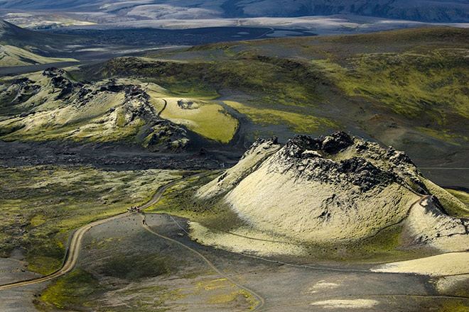
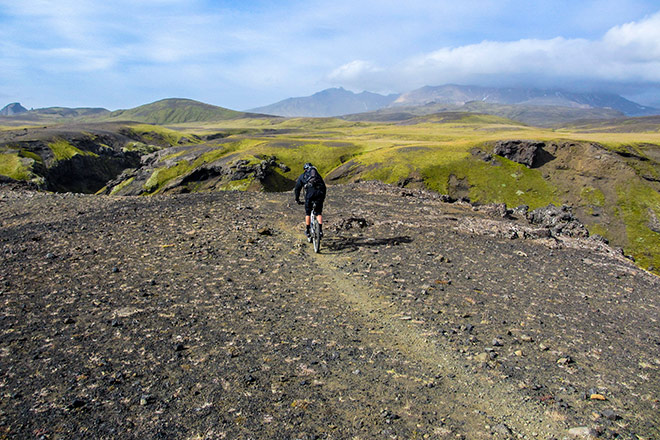
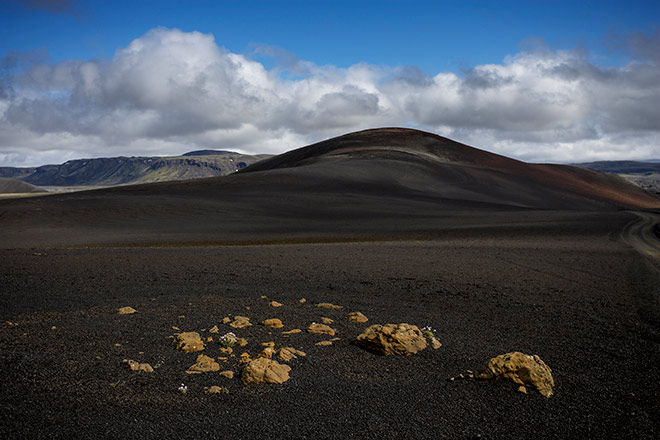
The craters of Laki are a spectacular natural phenomena accessible only by 4×4 vehicles. The 25-kilometre-long volcanic fissure has been made up of 100-odd crater-cones ever since a devastating eruption in 1783. Considered one of the the worst natural disasters in history, thousands of people were killed in the aftermath of the Laki eruption, reshaping the country’s landscape with 30 billion tons of lava. Most of the craters are between 20 and 50 metres tall, the biggest rising up to 100 metres in height.After a transfer from Vík, you’ll start biking towards the Tverárdalur valley. The terrain is easy and rises gently, with waterfalls to the left and small streams running down moss-covered hills on the right. Mid-way we’ll take a short detour to visit the extraordinary series of waterfalls which can be found on the Hverfisfljót glacial river.
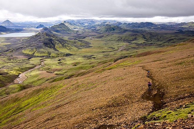
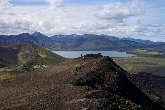
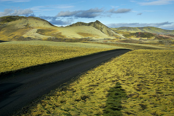
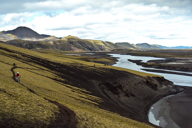
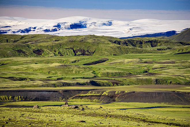
On the following day we will bike upwards through the open highlands north of the Miklafell mountain. It’s a gentle climb with some truly outstanding scenery over Vatnajökull, which is the largest glacier in Europe. After lunch, the landscape changes as the track winds through the rolling green hills of Laki and its lakes. The last part of the day slopes gentle downwards through the extensive lava fields of the Laki eruption
Riding surface
In this volcanic area, the trail will vary from gravelly 4×4 roads to single tracks and dark wetland. All of which is mostly gently rolling.
Average distance
On the first day in this volcanic region we will only cover 25km (15,5mi), as there is a bus transfer in the morning. There is, however, an optional extra tour of 14km (9mi) to the caves of Laufbalavatn and then back again. The second day you will ride 50km (30mi).


